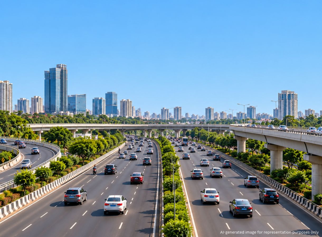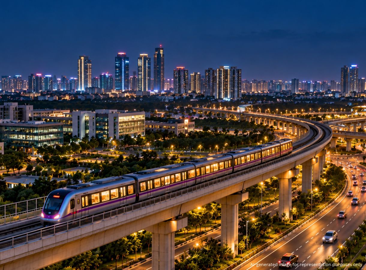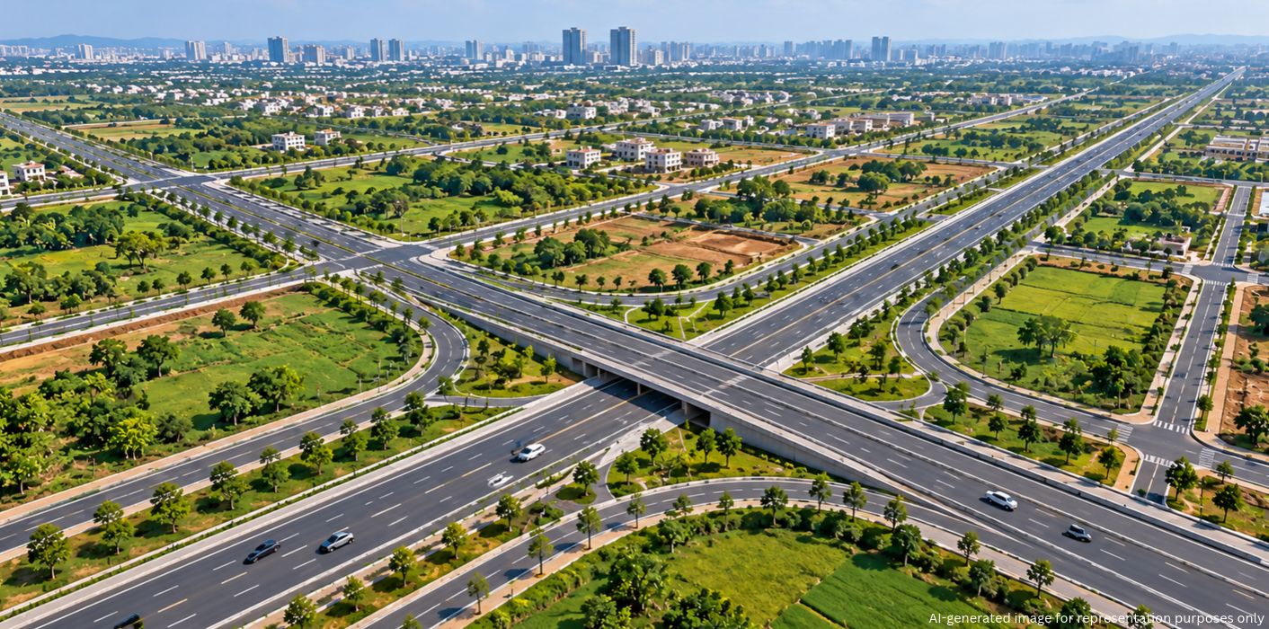
As Bengaluru’s development spreads beyond its established urban limits, planned infrastructure will become increasingly important to manage growth. The Karnataka government has notified a new road grid for Bengaluru Urban district areas outside the Greater Bengaluru Authority (GBA), aiming to improve connectivity and address future infrastructure needs before unplanned development creates similar challenges to those within the city.
Rapid urbanisation over the past 25 years has left Bengaluru dealing with traffic congestion, inadequate roads and persistent drinking water and drainage issues. The expansion that brought 110 villages and seven city municipal councils into the city around two decades ago illustrates the challenges of adding developed areas without sufficient infrastructure preparation.
Although successive governments have worked to improve essential services in these areas, infrastructure gaps remain. With development now extending beyond the GBA, the government is focusing on establishing a planned road network and essential services across the wider Bengaluru Urban district.
Experts reportedly estimate that Bengaluru’s urbanised area could expand to 1,400-1,800 square kilometres in the coming years. The new road grid is intended to help accommodate this growth and reduce the likelihood of existing traffic and drainage problems spreading into developing areas.
The notified network covers areas under the Bangalore Metropolitan Region Development Authority (BMRDA) and other local development authorities. Its main objective is to connect important administrative centres and existing transport corridors while preparing roads for future traffic demand.
Key features of the plan include:
The approach prioritises areas undergoing development rather than densely built parts of the existing GBA, where constructing additional roads may offer limited benefits.
Road connectivity is one part of the wider infrastructure plan. The entire Bengaluru Urban district has also been brought under the jurisdiction of the Bangalore Water Supply and Sewerage Board (BWSSB). A master plan is being prepared to extend drinking water provision and progressively establish adequate drainage infrastructure throughout the district.
The road network will take time to complete, with full construction potentially spanning five to ten years. Meanwhile, the notification has implications for property owners, homebuilders and layout developers.
Anyone planning construction or a new layout within the notified areas must account for the designated road corridors. Land required for these alignments must remain vacant in accordance with applicable legal provisions. Citizens are advised to review the notification and check road alignments before purchasing or developing land or starting construction. Detailed notification information will be available on the BMRDA website.
Bengaluru’s new road grid sets out a structured approach to managing expansion beyond the existing city limits. By reserving land for wider roads and integrating connectivity with drinking water and drainage planning, the initiative aims to create a stronger infrastructure foundation for the city’s growing periphery. The notified alignments will guide future layouts and construction, helping development progress within a planned framework over the next five to ten years.
1. Which areas does Bengaluru’s new road grid cover?
The notified road grid covers developing areas of Bengaluru Urban district outside the Greater Bengaluru Authority (GBA), including jurisdictions under BMRDA and other local development authorities.
2. How wide will the roads under Bengaluru’s new road grid be?
Notified road widths include 30 metres, 45 metres and, in some cases, 90 metres. Certain existing roads that are around 10 metres wide have been proposed for widening.
3. Which major roads will the new Bengaluru road grid connect?
The network will link taluk and hobli headquarters, major district roads, State highways, the Peripheral Ring Road (PRR) and the Satellite Town Ring Road (STRR).
4. How long will Bengaluru’s new road network take to complete?
Full construction of the identified road network could take five to ten years, depending on implementation.
5. How will the road grid address water and drainage requirements?
The entire Bengaluru Urban district falls under BWSSB jurisdiction, and a master plan is being prepared for drinking water provision and the progressive development of drainage infrastructure.
6. What should property buyers and builders check before developing land?
They should review the BMRDA notification and verify the notified road alignments. Land falling within designated road corridors must be kept vacant in accordance with applicable legal provisions.