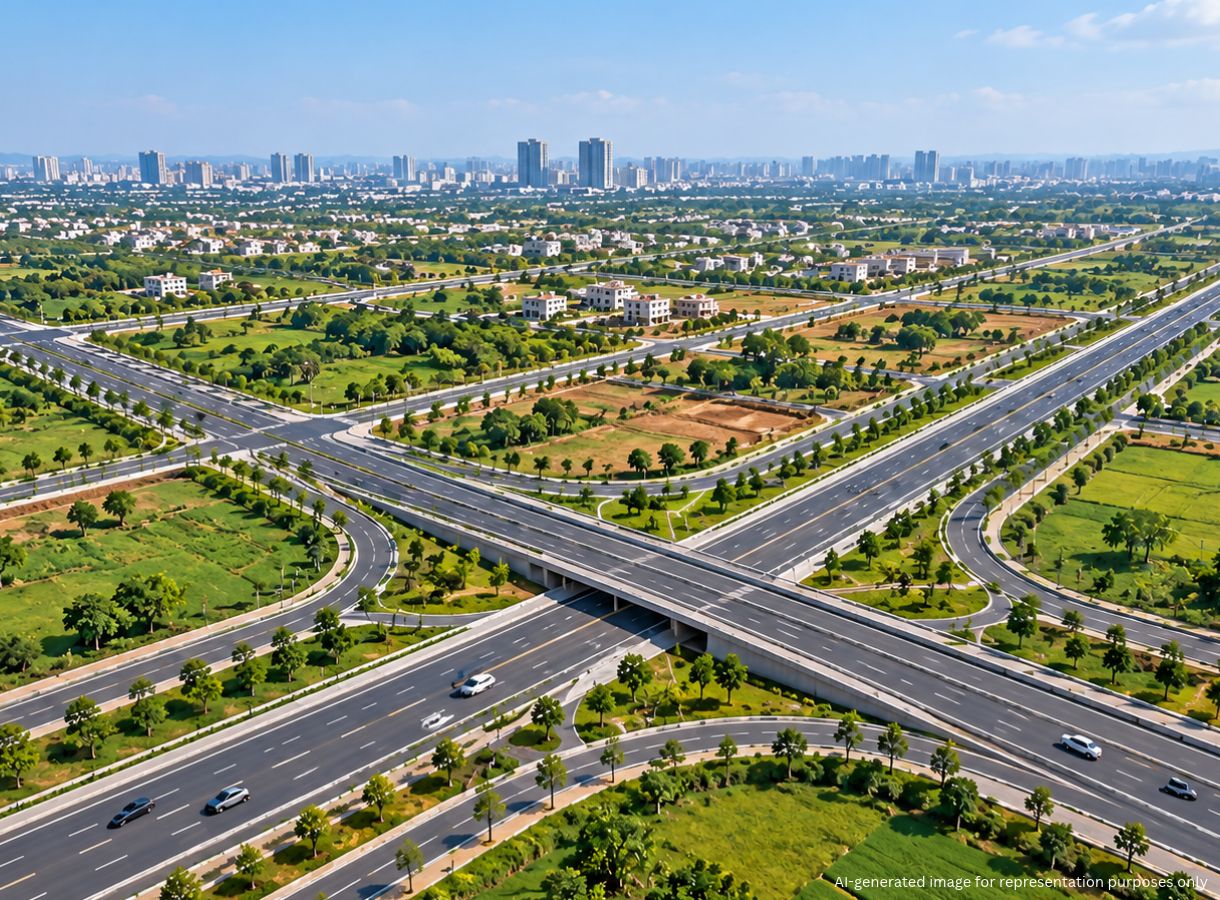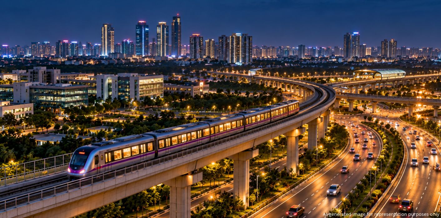
Bengaluru’s growth is increasingly extending beyond its established urban boundaries. The Karnataka government has outlined a major expansion plan for the Bengaluru Metropolitan Region (BMR), combining industrial development, housing and transport improvements.
The proposals include nine integrated industrial townships, 312 km of additional Metro lines, a 210 km ring road and a 270 km Regional Rapid Transit System (RRTS). These initiatives could improve regional connectivity and distribute economic activity across a wider area, supporting the state’s ambition of reaching a $1 trillion economy by 2047.
The government has acquired 7,900 acres for the proposed integrated industrial townships, with another 5,600 acres under acquisition. It is also exploring land for an artificial intelligence university and an AI city inspired by Singapore’s Punggol, which has developed into a smart and sustainable township.
Although the October 5 announcement did not name all nine proposed township locations, earlier satellite-township plans indicate the areas being considered for development:
The complete list of the nine new townships has not been individually disclosed, so these locations should not be treated as a confirmed list of all nine projects.
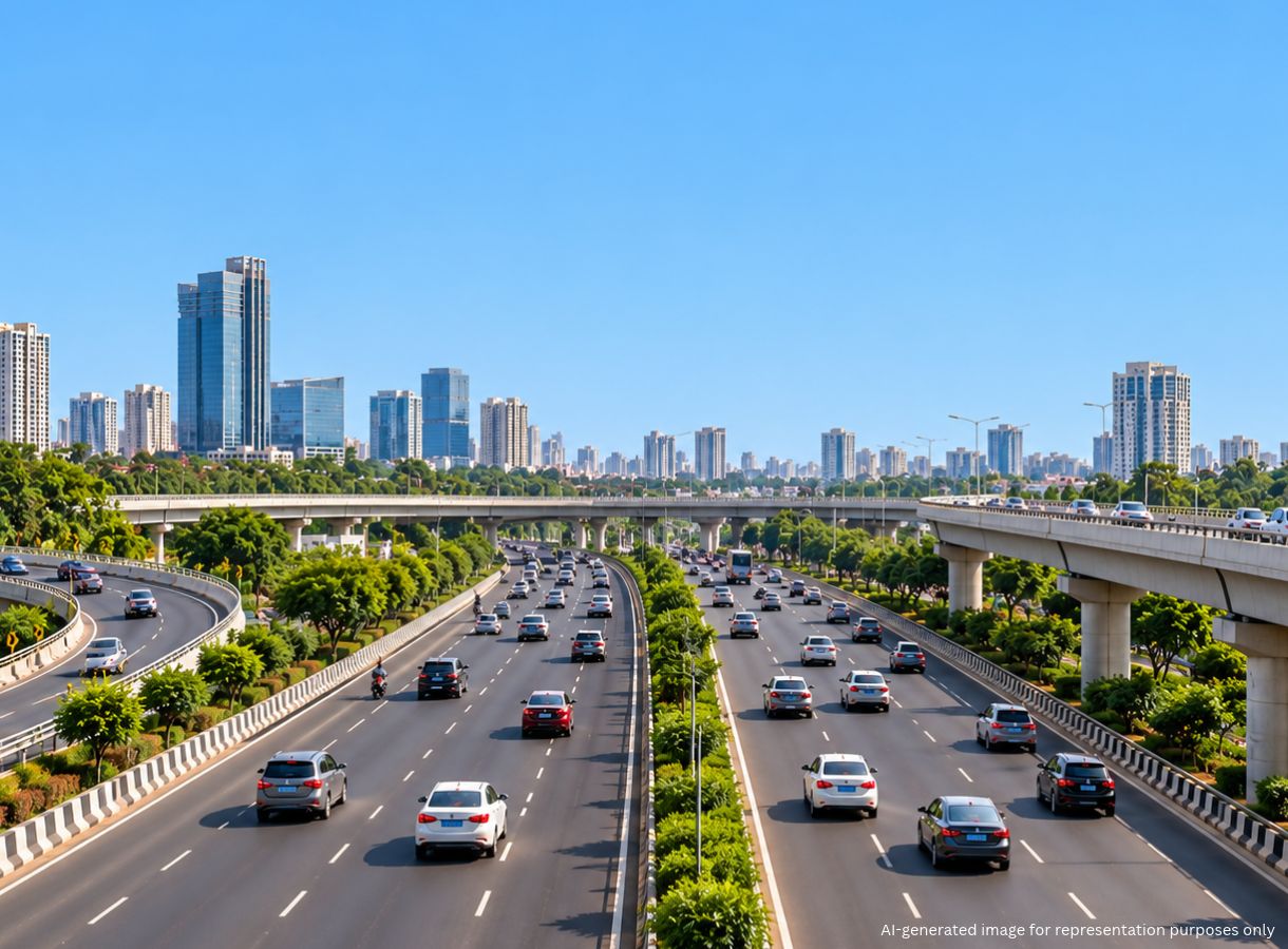
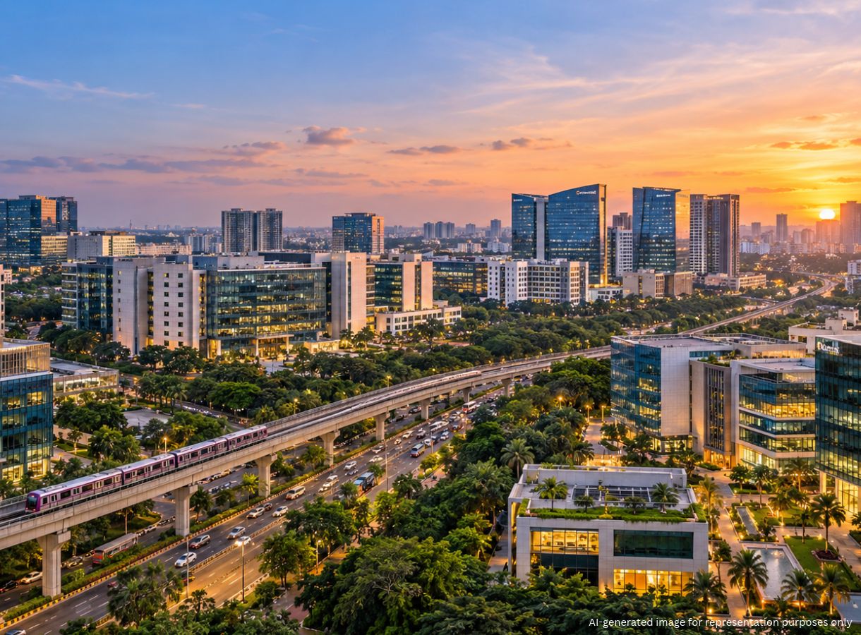
Transport infrastructure forms another major part of the BMR expansion strategy. The government is considering 312 km of additional Metro lines, a 210 km ring road and wider suburban rail connectivity to address regional travel needs.
Civic infrastructure is also expected to expand alongside transport and industrial development. The government plans to bring the entire Bengaluru Urban district under the Bengaluru Water Supply and Sewerage Board (BWSSB). This could extend water distribution and sewage services to areas currently outside the existing network.
The proposed townships, transport links and utility networks point towards a broader regional development approach rather than growth concentrated within the city. Better connectivity and access to essential services could support emerging residential and industrial areas.
1. How many integrated industrial townships are planned in the Bengaluru Metropolitan Region?
The Karnataka government has proposed nine integrated industrial townships. It has acquired 7,900 acres, with another 5,600 acres under acquisition.
2. Where is the Greater Bengaluru Integrated Township proposed?
The Bidadi-Harohalli township is planned along the Bengaluru-Mysuru corridor, approximately 35-40 km from Bengaluru, with housing, industries, offices and public infrastructure.
3. Which locations were previously identified for satellite townships near Bengaluru?
The earlier plans identified Nelamangala, Hoskote, Doddaballapur, Magadi and Bidadi, alongside the Bidadi-Harohalli township proposal.
4. How long is the proposed Bengaluru RRTS network?
The proposed Regional Rapid Transit System covers approximately 270 km across the Bengaluru-Tumakuru, Bengaluru-Mysuru and Bengaluru-KGF corridors.
5. What transport projects are proposed under the BMR expansion plan?
The proposals include 312 km of additional Metro lines, a 210 km ring road connecting 10 additional hubs, a 270 km RRTS network and expanded suburban rail connectivity.
6. How will the Bengaluru Water Supply and Sewerage Board expand its coverage?
The government plans to bring the entire Bengaluru Urban district under BWSSB, potentially extending water distribution and sewage services to currently underserved areas.